About this project
Looking up at the sky with radio waves,
we do not see stars but activity around the super massive black holes (SMBH) that reside in the centres of distant galaxies.
Specifically, spinning SMBHs, create magnetic fields such that charged particles are accelerated along two co-linear jets that originate from the SMBH.
These fountains of charged particles emit radio waves through a process known as synchrotron radiation.
Our team creates a radio sky survey - think a 'Google Maps' of the sky with radio waves - using the LOFAR radio telescope.
In the process, we photograph millions of SMBHs in previously unknown galaxies.
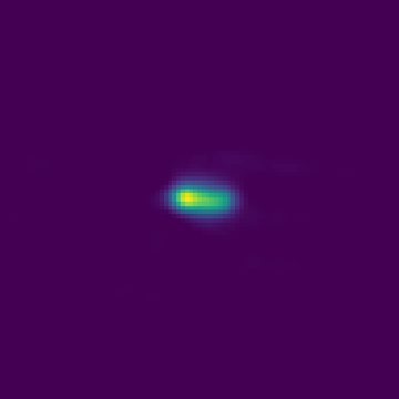
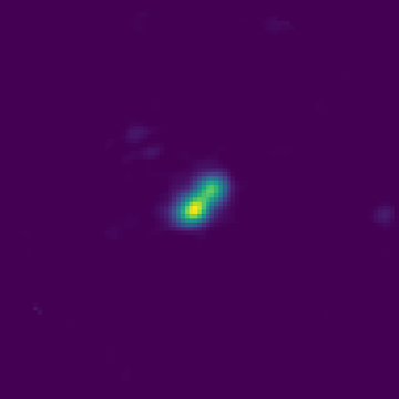
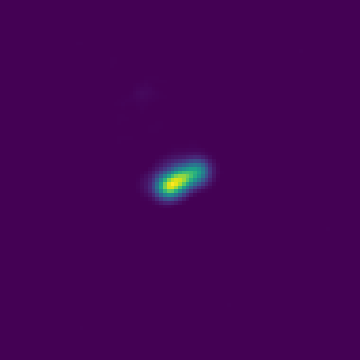
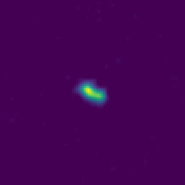
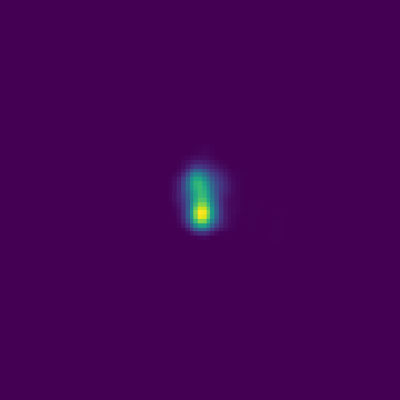
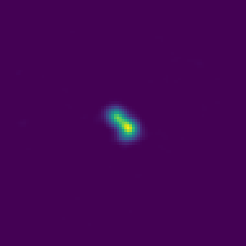
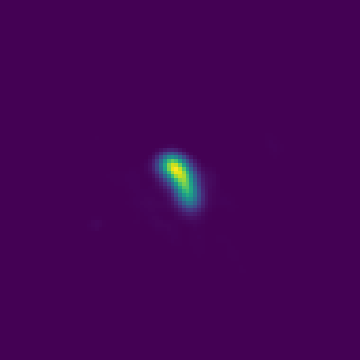
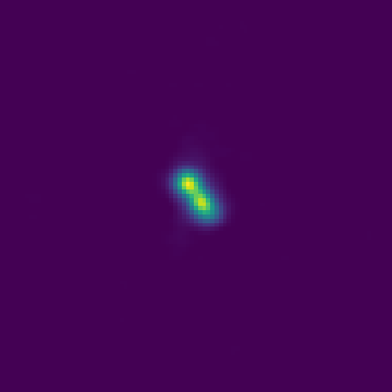
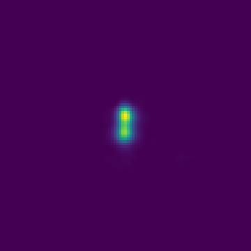
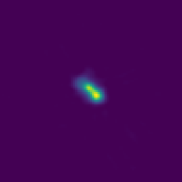
From the shape or morphology of the radio emission, we can infer physical properties of the SMBH, its host galaxy, and the environment of the host galaxy.
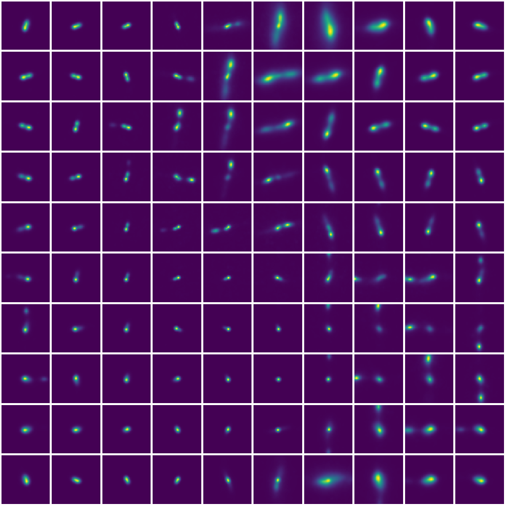
To find out what different morphologies are present in the LOFAR radio survey, I used a dimensionality reduction technique known as self-organizing maps.
This is an unsupervised neural network that projects a
high-dimensional dataset to a discrete 2-dimensional representation.
The map contains 10 x 10 neurons or prototypes, each represents a cluster of sources.
The radio data we used, with frequencies between 120 and 168Mhz, is part of the LoTSS wide area survey and here is a link to the peer-reviewed article related to this visualisation.
Click on the image on the left to explore the different morphologies,
or click on the 'Morphological Outliers'-page to explore the rarest morphologies found using this algorithm.